Every school and nursery near you, on one map
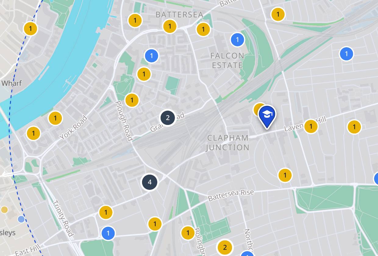
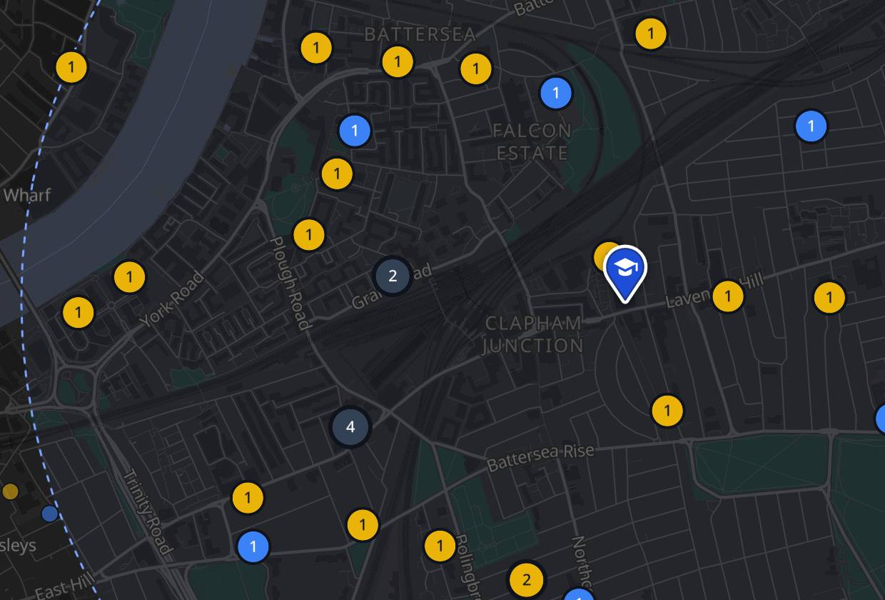
Search a postcode, town or school to see what is nearby, compare inspection outcomes, exam results and demand for places.
51,694 schools and nurseries. Your postcode is never sent anywhere.
How popular is it?
See how many families put each school first, and how far away places were offered.
Is it any good?
The latest inspection for every school and nursery, in each nation’s own terms.
How do pupils do?
Key stage 2, GCSE and A level results next to local and England averages.
What do parents say?
Whether parents would recommend the school and feel their child is happy and safe.
Every nation, one map
England, Wales, Scotland and Northern Ireland, each shown in its own terms.
Your search stays yours
Your postcode never leaves your browser.
Only official open data
Department for Education · Ofsted · Independent Schools Inspectorate · Scottish Government · Education Scotland · Care Inspectorate · Welsh Government · Estyn · Department of Education (Northern Ireland) · Ordnance Survey · AEFE.
Who is behind it
I’m a proud dad of a three-year-old girl. I built School Map to help other parents find a school that fits their child.
Contact
I’d love to hear from you. Get in touch with any feedback, a mistake you’ve spotted or a school that’s missing.
contact@schoolmap.uk